Services

Qualified services from TOPGEODETIC
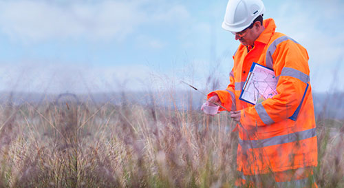
We carry out engineering surveys for all types of construction. Our work includes studying the project and drawing up technical specifications, conducting engineering surveys such as: engineering-geological, engineering-geodetic, engineering-environmental, engineering-geophysical and engineering-hydrometeorological surveys, conducting laboratory studies of selected samples, writing and approving technical reports. Highly qualified specialists and specialized laboratories take part in this work.

GEOLOGICAL SURVEYS
Geological surveys are carried out in order to obtain information about the geological structure of the research area. From the information received, the best and more optimal type of construction is determined, taking into account all factors affecting the construction and operation of engineering structures.

GEOPHYSICAL SURVEYS
Geophysical surveys are carried out to detect sources of water supply and minerals during the construction of buildings and structures, as well as at the design stage of engineering structures. It is impossible to do without modern geophysical methods both during the construction and during routine observations.

HYDROMETEOROLOGICAL SURVEYS
Hydrometeorological surveys are a complex of interrelated works, the main purpose of which is to study the features of the hydrometeorological conditions of the territory and predict their changes as a result of construction or reconstruction.

GEODETIC SURVEYS
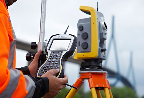
Geodetic surveys are carried out to determine the exact coordinates of the location of the planned construction, to obtain topographic and geodetic data and information about the relief of the surveyed territory. The result of the work is a forecast of likely changes and recommendations are given on taking into account the features of engineering-geodetic and geophysical conditions during the construction of facilities on the surveyed territory.

GEORADAR SURVEY
Environmental surveys are carried out during the design of facilities, during the excavation and during the inspection of facilities - both during construction and commissioning, and also when determining the hazard class of waste. The result of such work is an expert sanitary and epidemiological conclusion and recommendations to customers on the reclamation of the territory and restoration of the disturbed ecosystem in the construction area.

GEORADAR SURVEY
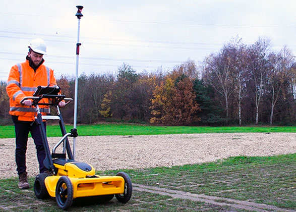
Georadar survey is one of the methods of geophysical research. Georadar is a modern geophysical instrument designed to detect various objects in various environments.
